![[z]varify-2 [z]varify-2](https://teamzelus.com/wp-content/uploads/2021/02/zvarify-2.png)
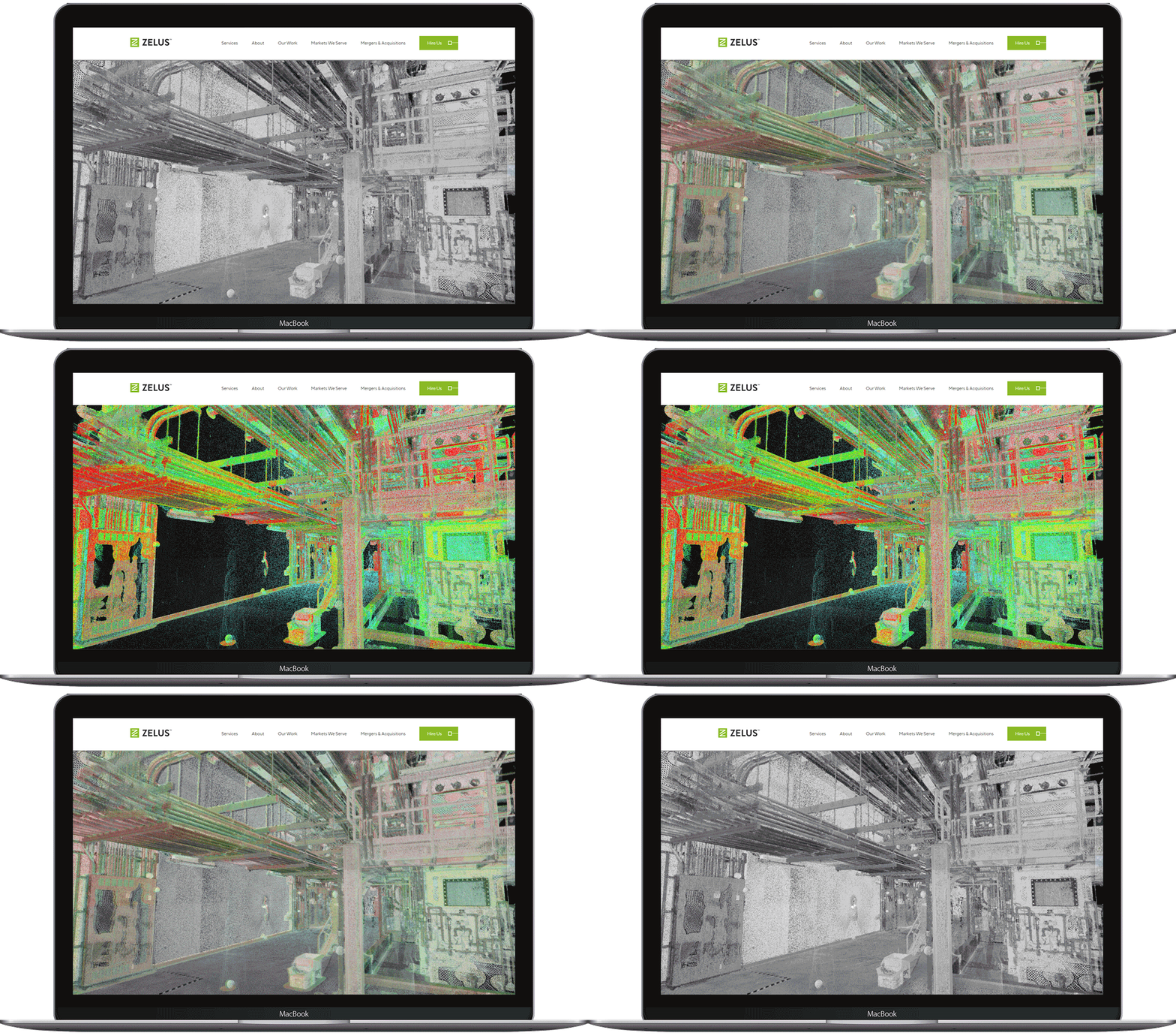
[Z]Verify
By overlaying raw point cloud data with a 3D model. The end-user can quickly determine the accuracy of a 3D model or detect deviation with [Z]Verify.
[Z]Simplify
Take control of your data at any level with [Z]Simplify. This software allows the end-user to specify what areas they’d like to see more, or less data. In doing so the computer has less data to process and can run faster.

![[z]realview [z]realview](https://teamzelus.com/wp-content/uploads/2021/02/zrealview.png)
[Z]Realview
Inspect any site remotely via an online 360 degree high-definition video or photographic tour. [Z]Realview allows the end-user to conduct a virtual tour of a building or job site and zoom in or out to make inspections. This ZRV can also include data that is embedded into the imagery such as PDFs, spec sheets, video links, etc.
[Z]Vault
Our password protected web-based portal serves as a document management tool for our clients to store and retrieve their deliverables. Upon gaining access, the user initially finds a map that shows the geographic location of each project and an adjoining file where all the deliverables (2D CAD, 3D building models, documents, photos, etc.) are stored.
![[z]vault [z]vault](https://teamzelus.com/wp-content/uploads/2021/02/zvault.png)


